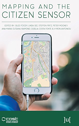
Mapping and the Citizen Sensor
by Giles Foody, et al.
Publisher: Ubiquity Press 2017
ISBN-13: 9781911529194
Number of pages: 400
Description:
Mapping activities have benefited greatly from recent advances in geoinformation technologies. The proliferation of inexpensive and highly mobile and location aware devices together with Web 2.0 technology have fostered the emergence of the citizen as a source of data. This book reports on some of the key issues connected with the use of citizen sensors in mapping.
Download or read it online for free here:
Download link
(13MB, PDF)
Similar books
 Essentials of Geographic Information Systems
by Jonathan Campbell, Michael Shin - Saylor Foundation
This book integrates key concepts behind the technology with practical concerns and real-world applications. Recognizing that many potential GIS users are non-specialists, the book is designed to be accessible, pragmatic and concise.
(11824 views)
 Principles of Geographic Information Systems
by O. Huisman, R.A. de By (ed.) - ITC
A geographic information system is a computer-based system that supports the study of natural and man-made phenomena with an explicit location in space. The GIS allows data entry, data manipulation, and production of interpretable output.
(19134 views)
 Application of Geographic Information Systems
by Bhuiyan Monwar Alam - InTech
This volume presents GIS's applications in different subfields of social sciences. With several case studies conducted in different parts of the world, the book blends together the theories of GIS and their implementations in different conditions.
(13934 views)
 Python Scripting for Spatial Data Processing
by Pete Bunting, Daniel Clewley - Aberystwyth University
This book is a Python tutorial for beginners aiming at teaching spatial data processing. It is used as part of the courses taught in Remote Sensing and GIS at Aberystwyth University, UK. GIS belong the group of applications that process spatial data.
(8743 views)