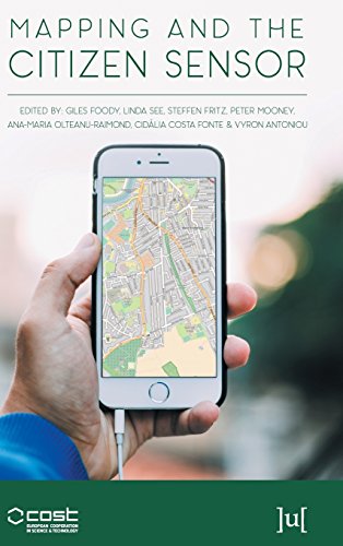
Mapping and the Citizen Sensor
by Giles Foody, et al.
Publisher: Ubiquity Press 2017
ISBN-13: 9781911529194
Number of pages: 400
Description:
Mapping activities have benefited greatly from recent advances in geoinformation technologies. The proliferation of inexpensive and highly mobile and location aware devices together with Web 2.0 technology have fostered the emergence of the citizen as a source of data. This book reports on some of the key issues connected with the use of citizen sensors in mapping.
Download or read it online for free here:
Download link
(13MB, PDF)
Similar books
 A Gentle Introduction to GIS
by T. Sutton, O. Dassau, M. Sutton
GIS is an important tool in environmental management, retail, military, police, tourism and many other spheres of our daily lives. If you use a computer or a cell phone, you have probably already used a GIS in some form without even realizing it.
(15230 views)
 Application of Geographic Information Systems
by Bhuiyan Monwar Alam - InTech
This volume presents GIS's applications in different subfields of social sciences. With several case studies conducted in different parts of the world, the book blends together the theories of GIS and their implementations in different conditions.
(13939 views)
 GIS Commons: An Introductory Textbook on Geographic Information Systems
by Michael Schmandt - giscommons.org
This free, web-based, open-source textbook focuses primarily on Geographic Information Systems (GIS) - a geospatial technology that enables you to create spatial databases, analyze spatial patterns, and produce maps that communicate more effectively.
(8433 views)
 Essentials of Geographic Information Systems
by Jonathan Campbell, Michael Shin - Saylor Foundation
This book integrates key concepts behind the technology with practical concerns and real-world applications. Recognizing that many potential GIS users are non-specialists, the book is designed to be accessible, pragmatic and concise.
(11826 views)